'%3e%3cg%20transform='matrix(.51546%200%200%20.51546%20-28.219%2039.334)'%3e%3crect%20x='299.58'%20y='73.573'%20width='59.191'%20height='59.191'%20rx='14.324'%20ry='14.324'%20style='fill:%23113226;stroke-linecap:round;stroke-miterlimit:11.7;stroke-width:8.198'%20/%3e%3cg%20transform='translate(365.54%2058.197)'%3e%3cpath%20d='m-33.443%2027.263v8.3853s-11.028%201.8624-11.028%207.9881c0%205.6519%2010.449%204.6416%2010.449%208.4405%200%203.2041-9.3885%205.3041-14.729%206.0448-11.813-11.296-3.1101-30.859%2015.307-30.859z'%20style='fill:%23f5f1e8;stroke-linecap:round;stroke-miterlimit:11.7;stroke-width:4.0686'%20/%3e%3cpath%20d='m-36.52%2062.681c3.1153-1.7986%2011.046-4.9616%2011.046-9.9077%200-6.8513-12.246-5.7842-12.246-9.264%200-3.4417%2019.134-8.7143%2019.134%205.1212%200%2010.536-11.956%2014.051-17.934%2014.051z'%20style='fill:%23f5f1e8;stroke-linecap:round;stroke-miterlimit:11.7;stroke-width:4.0686'%20/%3e%3ccircle%20cx='-25.593'%20cy='31.456'%20r='4.1926'%20style='fill:%23e7b04a;stroke-linecap:round;stroke-miterlimit:11.7;stroke-width:3.9028'%20/%3e%3c/g%3e%3c/g%3e%3c/g%3e%3c/svg%3e)
Everything you need to put your site on a map
One product, covering the whole loop: your staff draw the boundary, define what they're tracking, place it on the map, and publish — visitors get a live map that opens from a link, with nothing to install.
The visitor map
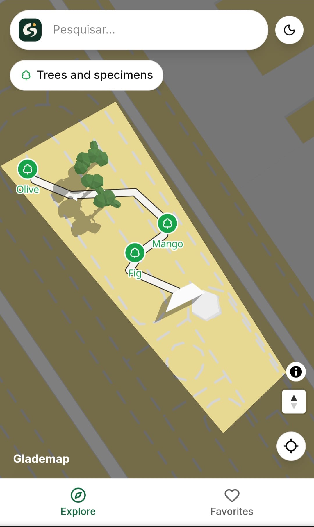
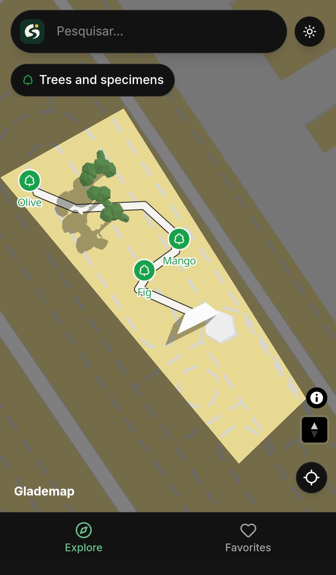
A mobile map that opens from a link or a QR code — no login, no install, live position, search, and full detail on tap.
- A live position dot with a recenter button once location is granted; without it, the map still opens centered on the venue
- Typo-tolerant search across every point’s name and every custom field you’ve defined — not just a fixed set of columns
- Category filters and a full browse-all list, without either one permanently eating the map’s screen space
- Points, drawn areas, and drawn lines all show up on the same map — a plant, a garden bed, and a trail each look like what they actually are
- Tap any point for its photo, description, and whatever category-specific details you’ve chosen to publish
- Every point also gets its own shareable page — for a QR code on physical signage, or for browsing the collection remotely before a visit
A real map you can tap right now — search, filter, or locate yourself. View full screen .
The map editor
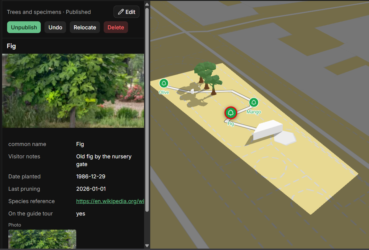
Staff build and maintain the map visually, drawing straight onto satellite imagery — if you can draw on a photo, you can build your map. No specialist tools, no developer.
- Draw your venue’s boundary once; it becomes the map’s default view and the one prerequisite before anything else can be placed
- Add a point with a tap, or draw an area or a line straight onto the map
- Move something with a deliberate relocate step — tap the new spot, then confirm — not an accidental drag
- Undo any single change from its own history: a move, an edited description, a publish, all reversible with one click
- Publish or unpublish instantly, one point at a time or in bulk from the list view
- Look your own venue up by name or address to get the map’s starting view right
Categories and custom fields
You define what your venue actually has and what’s worth recording about it — not a fixed set of fields picked for you.
- Create your own categories, each with a name, a color, and an icon
- Choose how each category appears on the map: a point, a drawn area, or a drawn line
- Build a custom form per category from eight field types — short text, long text, number, date, link, yes/no, a dropdown with your own options, and photo galleries
- One field definition drives everywhere it’s shown: the editor form, the inspector, the visitor’s detail panel, and that point’s own standalone page
- Edit a category’s fields any time — its shape (point, area, or line) locks in once real points use it, so nothing already placed ever stops making sense
Bulk import
Bring in the inventory you already have instead of placing everything one at a time.
- Upload the spreadsheet you already have — names, descriptions, locations — and each row becomes a point on your map
- Everything arrives as a private draft; nothing goes live until you say so
- Automatic checks flag anything that deserves a second look — a missing description, or two things placed at practically the same spot
- Work through the batch at your own pace, jump straight to what was flagged, and publish only what’s ready
Photos
Upload once; every size everywhere is handled for you.
- A cover photo per point, plus a full gallery for any field you’ve defined as a photo type
- Every upload is automatically resized into three sizes and re-encoded, so pages stay fast on a visitor’s phone
- Photos always come out the right way up, even after they’re resized
Team and roles
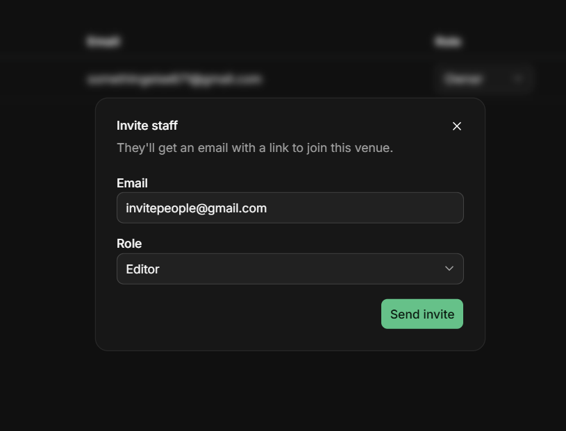
Invite the people who actually maintain your grounds, with access that matches their job.
- Invite by email with a role — owner, editor, or viewer — no shared logins
- Editors handle the day-to-day work: placing points, writing descriptions, managing categories and imports
- Owners additionally manage venue settings and can remove the venue itself
- Viewers get read-only access to the map editor — useful for board members or partners who just need visibility
- Belong to more than one venue? Switch between them from the same account
A safety net for every edit
Nothing is ever silently lost, and mistakes are cheap to fix.
- Every create, edit, move, publish, and delete is recorded — what changed, who changed it, and when
- Undo any point’s most recent change directly from its own inspector
- A recent-activity feed on the dashboard shows what’s happened lately, across the whole team
QR codes, built in
Generate the codes; printing and mounting the signage is up to you.
- One venue-level QR code for your entrance sign, pointing straight at your public map
- A QR code for every individual point, for a plaque or placard next to the thing itself
- Both are generated as downloadable images on the spot — no separate tool, no tracking, nothing else involved

No installs, ever
The entire visitor experience runs in a browser tab.
- Scan a code and the map opens immediately — no app store listing, no account required to look around
- An edit your staff publish is live for the very next visitor — instantly, with nothing to wait for
- Every venue is completely separate: its own map, staff, and URL — invisible to every other venue on the platform
See it for yourself
Draw your boundary, add a category, place a few points — most venues have their first version live within an afternoon.
Create your map